
- Join
- Aug 13, 2018
- Messages
- 71
- Age
- 52
Help me out folks
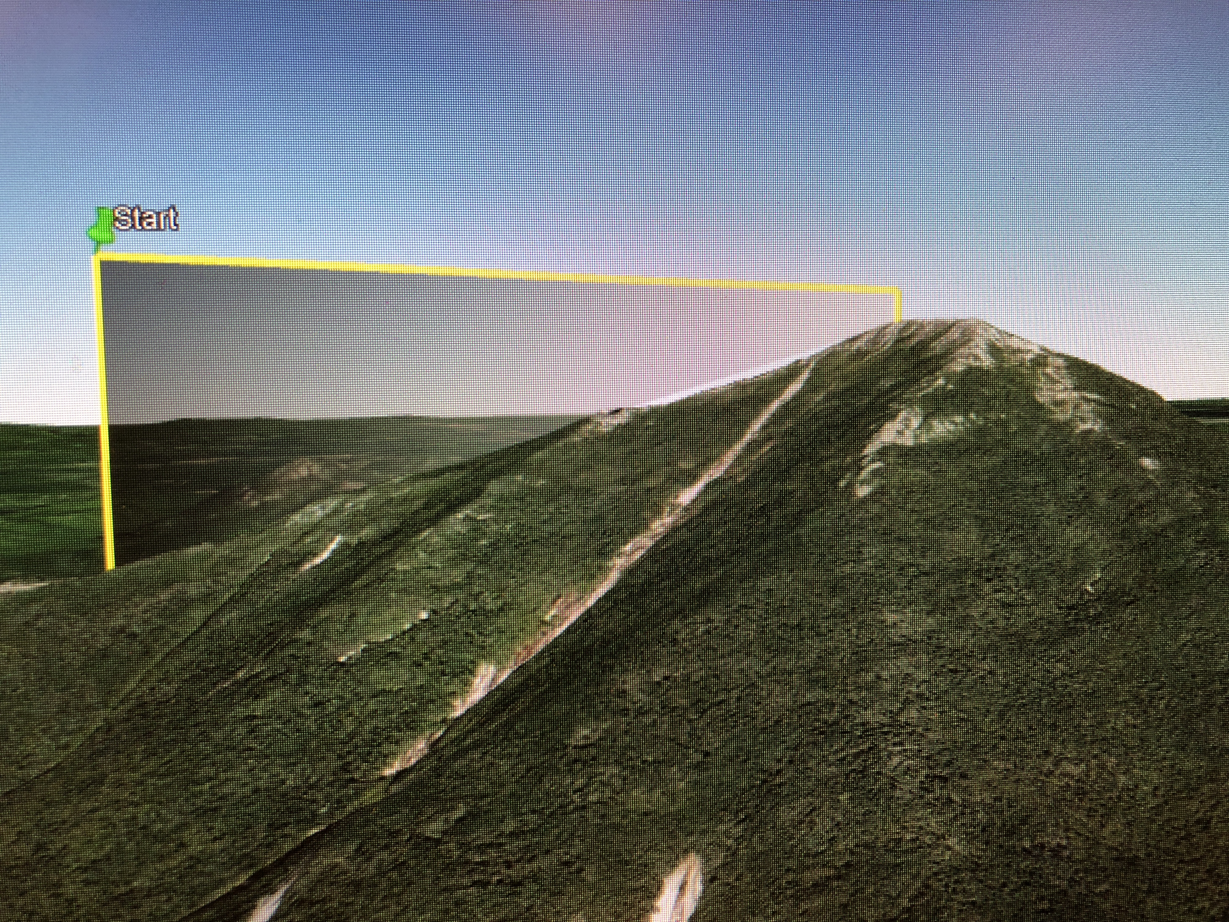
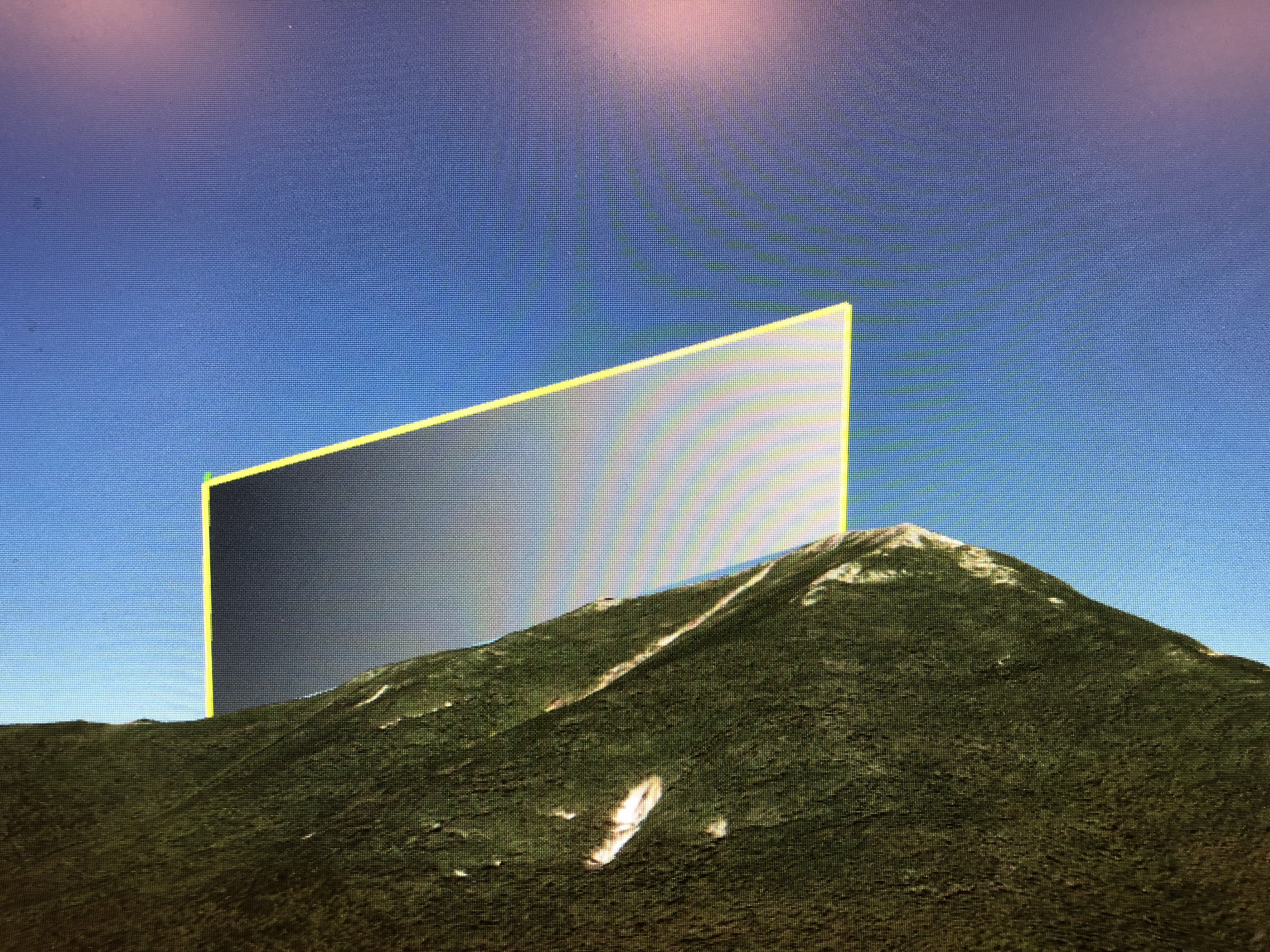
Mountain top is at 3000 feet. Drone take off spot is 400 feet below at 2600.
Can I legally bring my drone up to 500 feet at take off spot to fly over mountain top?
I planned litchi mission relative to the ground with gradual increases and it always crashes into mountain in virtual mode.
Mountain top is at 3000 feet. Drone take off spot is 400 feet below at 2600.
Can I legally bring my drone up to 500 feet at take off spot to fly over mountain top?
I planned litchi mission relative to the ground with gradual increases and it always crashes into mountain in virtual mode.

")

")

